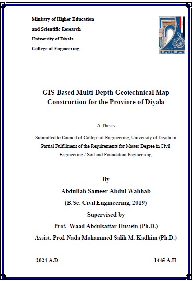
رسالة ماجستير عبد الله سمير / بعنوان: GIS-Based Multi-Depth Geotechnical Map Construction for the Province of Diyala
Abstract This study aims to produce multi-depth geotechnical maps using GIS, the purpose of which is to give the field engineer an initial impression of the type of soil he…

